Mount Errigal 751m is the highest mountain in Donegal. It is situated in the Derryveagh Mountains. Its lesser peak is called Mackoght 555m, also called little Errigal.
This guided hike will form a loop commencing on an ancient bog road which leads to the beautiful Altan lake and farm. We will ascent to the rocky quartzite peak of Mackoght and then after a brief descent make our way up to the summit of Errigal. To complete the route we will descend on the narrow but safe ridge to cross the peaty ground along the river bank to the car park.
The steep scree covered slopes of Errigal are well known for the pinky glow from its quartzite peak during a setting sun.
The views across to the Derryveagh peaks are stunning and also the famous Poison Glen with its distinctive old church ruins

Hiking on the summit ridge of Mount Errigal the highest peak in Co. Donegal

View of Altan Lake and the Aghlas mountain range

North face of Errigal

Summit ridge hike
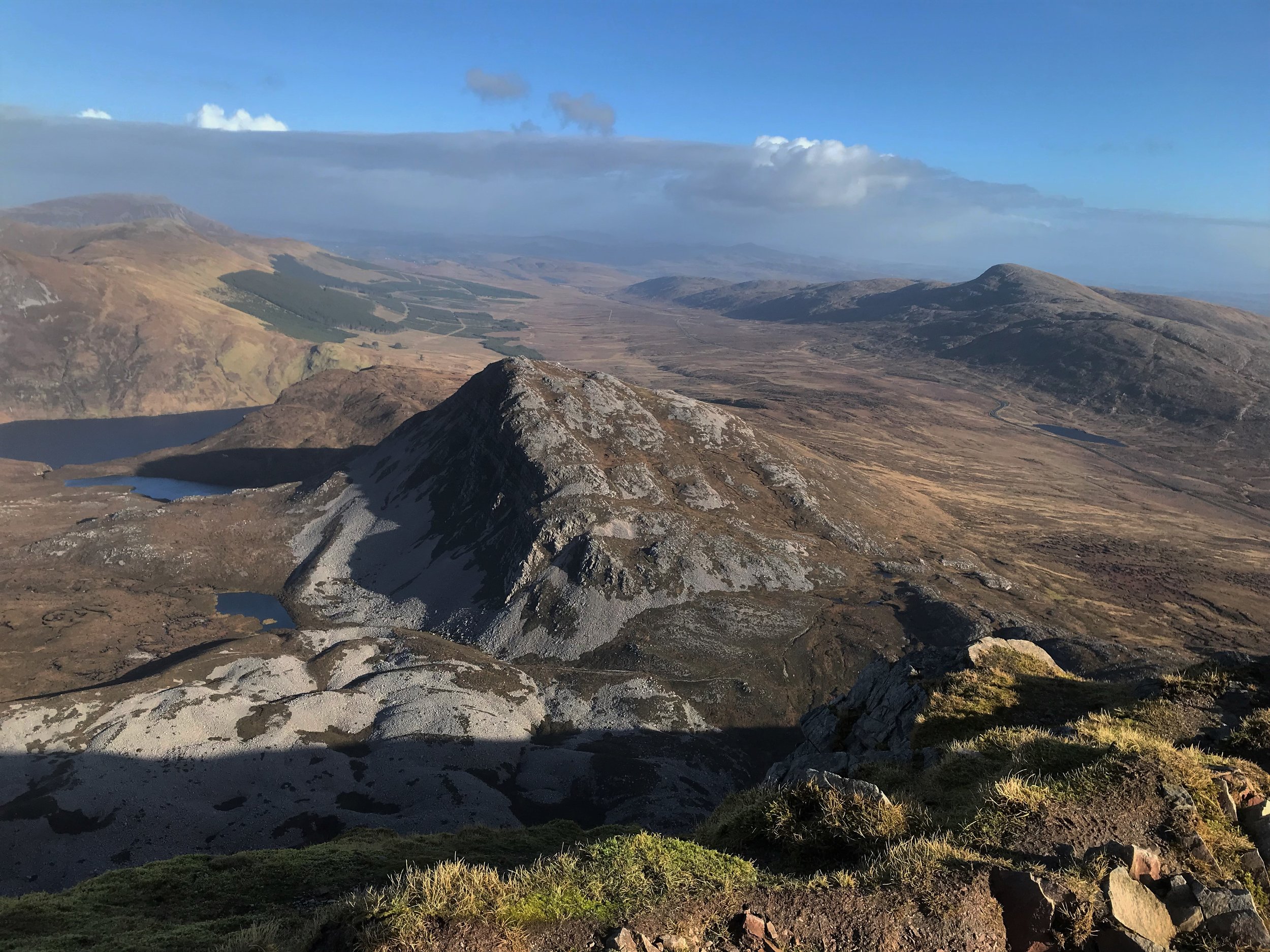
View of Machoght from Errigal summit
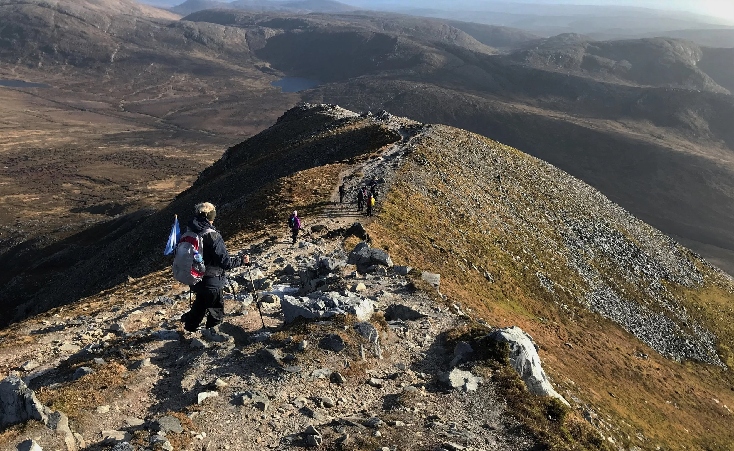
Descending along the narrow summit ridge of Errigal mountain.

Descending the scree slopes of Errigal

Errigal in the snow

Errigal via the North Ridge